The work doesn’t end at launch.
Over a decade of helping organizations discover, shape, and build what comes next.

Over a decade of helping organizations discover, shape, and build what comes next.
monitoring stations
Izaak Walton League of America
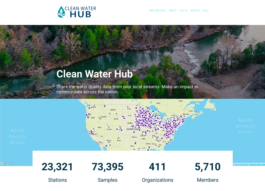
Built a citizen science platform that grew from data collection into national-scale environmental infrastructure.
A nationwide citizen science platform for tracking freshwater quality across the United States. Built around data collection protocols — including Salt Watch and Nitrate Watch — the platform supports over 22,000 monitoring stations and 73,000+ individual readings submitted by volunteers, researchers, and watershed groups.
What started as a data collection tool grew into a full geospatial platform: real-time mapping, protocol management, and reporting tools for field coordinators and program staff. We've maintained and expanded this platform over a 10+ year partnership.
Environment · Geospatial · Mobile · Citizen Science
of iOS, Android & web apps
FracTracker Alliance
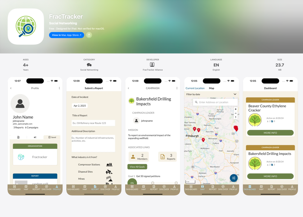
Environmental reporting tools for communities tracking the impacts of oil and gas development — pipelines, wells, compressor stations, and data centers. We've built five generations of iOS, Android, and web applications for FracTracker over a decade-long partnership.
The platform includes location-based activity feeds, campaign management tools, and curated data layers for pipeline, well, and facility datasets. It's used by researchers, journalists, community advocates, and field organizers across the country.
Environment · Mobile · Geospatial · Data
launched from two platform builds
The Commons
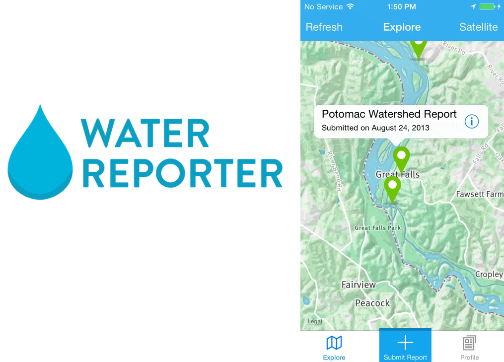
Two separate platform engagements that together helped an organization become something new. The first: a geospatial modeling tool to help determine which areas were strong candidates for environmental restoration funding, which grew into a full project tracking platform. The second: a multi-generation citizen water reporting app with geo-fenced notifications, an activity feed for concerned citizens and organizations, image and caption tagging, and a notification system that alerted stakeholders when reports appeared in their geographic area.
Both systems supported the launch of The Commons as an independent nonprofit. They've been running autonomously for nearly a decade. We still collaborate on projects — but the goal from the start was for them not to need us.
Environment · Civic · Geospatial · Mobile
standards certification platform
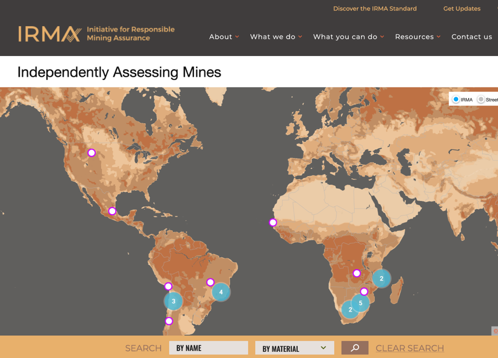
A role-based audit and self-assessment platform used by mining companies worldwide to pursue and demonstrate responsible mining. The system supports complex multi-stakeholder workflows: companies complete self-assessments, auditors conduct independent reviews, and the platform enables side-by-side comparison of both.
We also built a custom Excel-to-structured-data upload tool to reduce friction for organizations migrating existing compliance data, and a Salesforce integration for the client team's internal operations. 10+ year partnership.
Civic · Compliance · Data · Salesforce
Not everything we build can be shared publicly — but the problems are worth talking about, because the approach travels.
Carnegie Mellon University
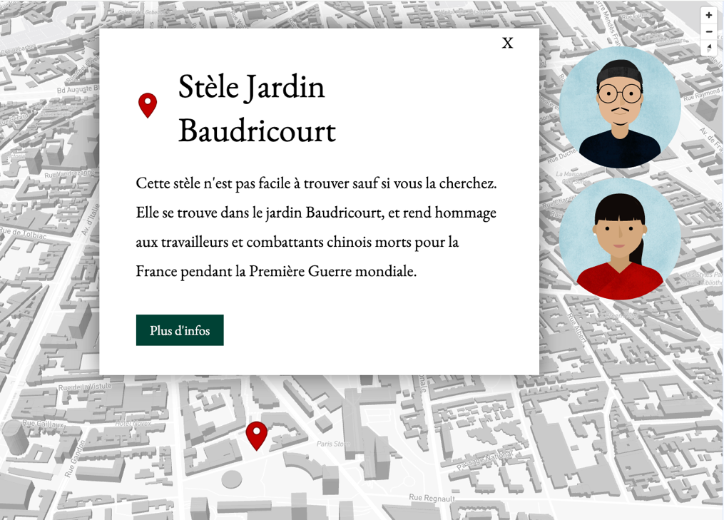
An interactive map telling the story of people living in Paris — combining location-based narrative, video walkthroughs, and interviews with locals. Built for an academic research project, designed to make a complex social history explorable by anyone.
Interactive · Storytelling · Education · Geospatial
Earthworks
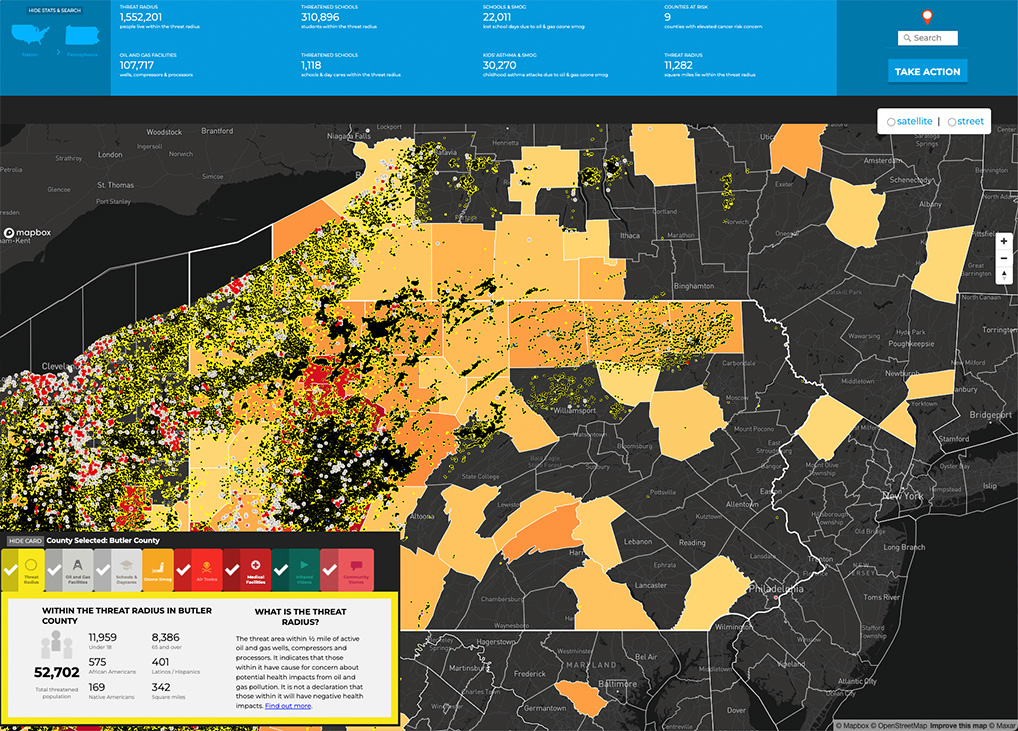
A public-facing health threat visualization mapping the impacts of oil and gas infrastructure — wells, pipelines, and compressor stations — within a half-mile radius. Designed to make invisible health risks visible to the communities living near them. Multiple versions built over time.
Environment · Geospatial · Public Health
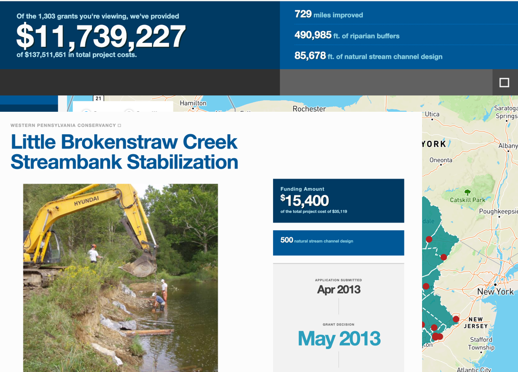
A digital grant application, review, and communication system with integration and geospatial impact mapping. Helped a small team manage over $10M in environmental restoration funding across 13 years.
Civic · Environment · Grants · Geospatial
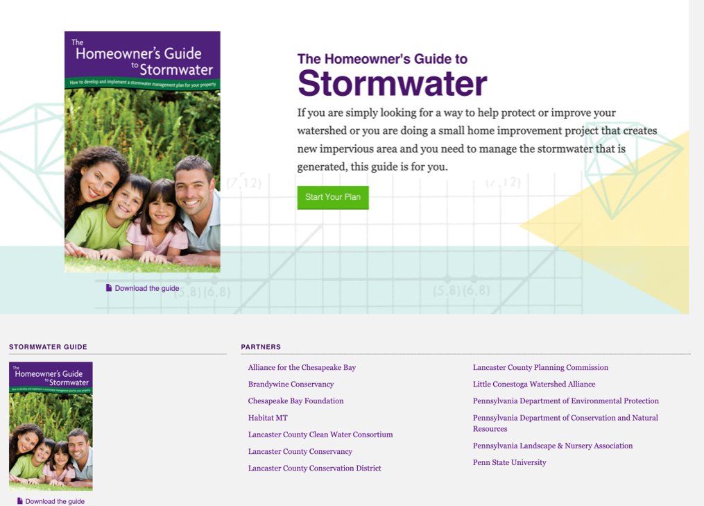
An interactive mapping calculator where property owners draw the footprint of their land improvements and see projected stormwater reduction estimates in real time. Users can download a formatted PDF summary of their plan — making a technical compliance process feel approachable.
Civic · Geospatial · Interactive
Some of our most rewarding work has started with a call that begins: 'we have a problem.' Rebuilt failing applications, developed multilingual APIs under deadline, migrated legacy systems, and stepped into codebases nobody else wanted to touch.
APIs · Migration · Data
Connecting things together is one of our specialities. A retailer and maker all things printed needed to connect disparate data sets to allow them to operate internally, service their customers, and to use real-time data to do both.
APIs · Integrations · Data
A rebuilt grant funding and accounting application for fund allocation, project tracking, and payment processing — including Bill.com.
Civic · Environment · Geospatial
A full business operations system for a national education franchise: reservations, payments, staff management, curriculum delivery, memberships, and email marketing. Scaled from 3 to nearly 250 locations worldwide. The platform IP became part of a private equity acquisition.
Education · Operations · Payments
An offline-first iPad and desktop application for collecting site inventory data in the field — no connectivity required. The app exports in a structured Excel format processed by a companion desktop application, also built by Viable, for post-collection analysis.
Enterprise · Mobile · Offline · Data
A wizard-style tool allowing users to upload an Excel document and extract, map, and reformat their data to conform to an open data standard — lowering the barrier for organizations contributing to a national water data set and visualization.
Data · Open Standards · Civic · Environment
We do our best work with organizations that are in it for the long haul — and so are we.